Bird's Eye View: How Aerial Monitoring Is Transforming Indian Agriculture
For centuries, farmers walked their fields every morning — inspecting leaves, checking soil moisture, watching for signs of pest damage. That intimate, ground-level knowledge built generations of agricultural expertise. But today, a new layer of intelligence is being added from above.
Why the Aerial Perspective Changes Everything
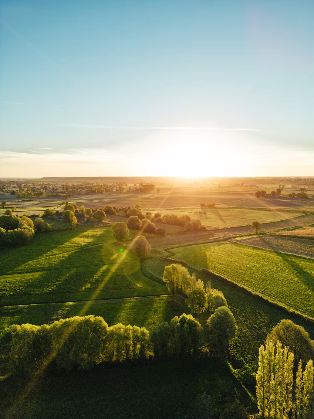
When you stand at the edge of a large field, you can see perhaps 50 metres clearly. A drone hovering at 100 metres can capture the entire farm in a single pass. This difference in vantage point unlocks patterns that are simply invisible from the ground.
Aerial imagery can reveal uneven crop growth caused by soil variation, identify waterlogged zones after rainfall, detect early signs of pest infestation before they spread, and map irrigation coverage gaps across large plots. These are insights that would take days of walking to gather manually — and by then, the window to act may have passed.
How Kreevann Uses Aerial Data
At our Mathura operations, we use periodic aerial surveys to monitor crop health across different growth stages. By comparing images week over week, our agronomists can track:
- Vegetation indices that reveal plant stress before it becomes visible to the naked eye
- Irrigation uniformity — ensuring every part of the field receives adequate water
- Emergence rates after sowing, helping predict yield potential early in the season
- Boundary conditions where field edges often suffer from different soil or wind exposure
From Data to Decision
Aerial monitoring is only valuable when it informs action. Our team reviews survey outputs against historical crop data and weather forecasts. If a section of field shows early stress indicators, we can apply targeted inputs — rather than treating the entire farm, which wastes resources and increases costs.
This precision approach is at the heart of sustainable farming: doing more with less, intervening only where needed, and letting data guide decisions that were once driven by intuition alone.
The Future of Aerial Agriculture in India
With drone regulations becoming clearer and hardware costs falling, aerial monitoring is moving from the large corporate farm into the hands of smallholder farmers. Cooperative models — where a single drone serves multiple farms — are already emerging across Indian agricultural districts. Kreevann is actively exploring how to extend these capabilities to partner farmers in our supply network.
The sky, it turns out, is not the limit — it is the vantage point.
Explore More Insights
Browse all our articles on smart farming, agri-tech, and sustainable agriculture.
Back to Blog